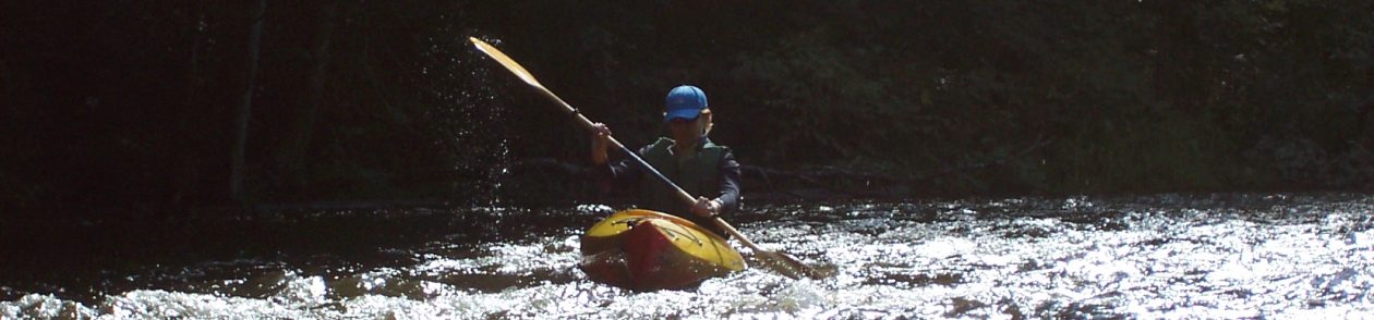
Highlights: Very few people paddle this section of the Manistee, making it a journey back in time with the adventure of an unmaintained river combined with the serenity of solitude. The current constantly tugs your kayak in and out of woods where the only sound is the wind, birdsong, or the splash of jumping fish.

Distance: About 10 miles for both the kayaking and biking.
Difficulty: The biking portion is mostly easy, particularly if you ride a fat-tire bike (the roads can be quite sandy). But the kayaking is more of a challenge as this section of the Manistee River is narrow and unmaintained so expect to paddle around, over, and under deadfall. Beaver dams are also common and some might require portaging.
Location: Drive west on Mancelona Road, south of Gaylord, and turn south on rutted, sandy North Manistee Road. Continue for about a mile and then stay right for another .3-mile. The road dead-ends at an old campsite on the Manistee River. Leave your kayaks here. Backtrack to Mancelona Road and turn east. In about a mile, turn south onto Geronimo’s Trail. Continue straight as the road turns into dirt North Manistee Road (yes, another North Manistee Road!) and stay south at all intersections. Turn east onto North Cameron Bridge Road. Park just past the bridge, on the left.
(Car shuttle: Using the directions above, park one car at the takeout and then drive the second car to the put-in.)
Route finding: Take a good look at the takeout before you begin the bike ride. Retrace your tracks back to the old campsite and kayaks. The river is so narrow that it isn’t always obvious which way to paddle. More cottages and cabins begin to appear as you get closer to Cameron Bridge.
Map: A PDF map can be found here.
