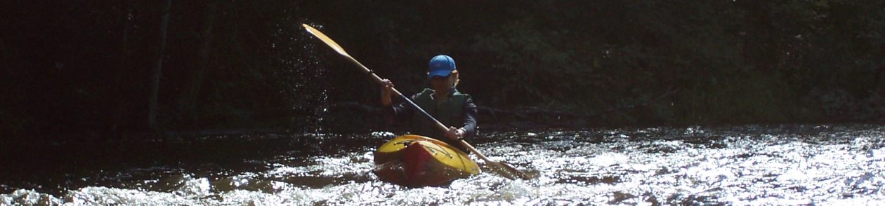
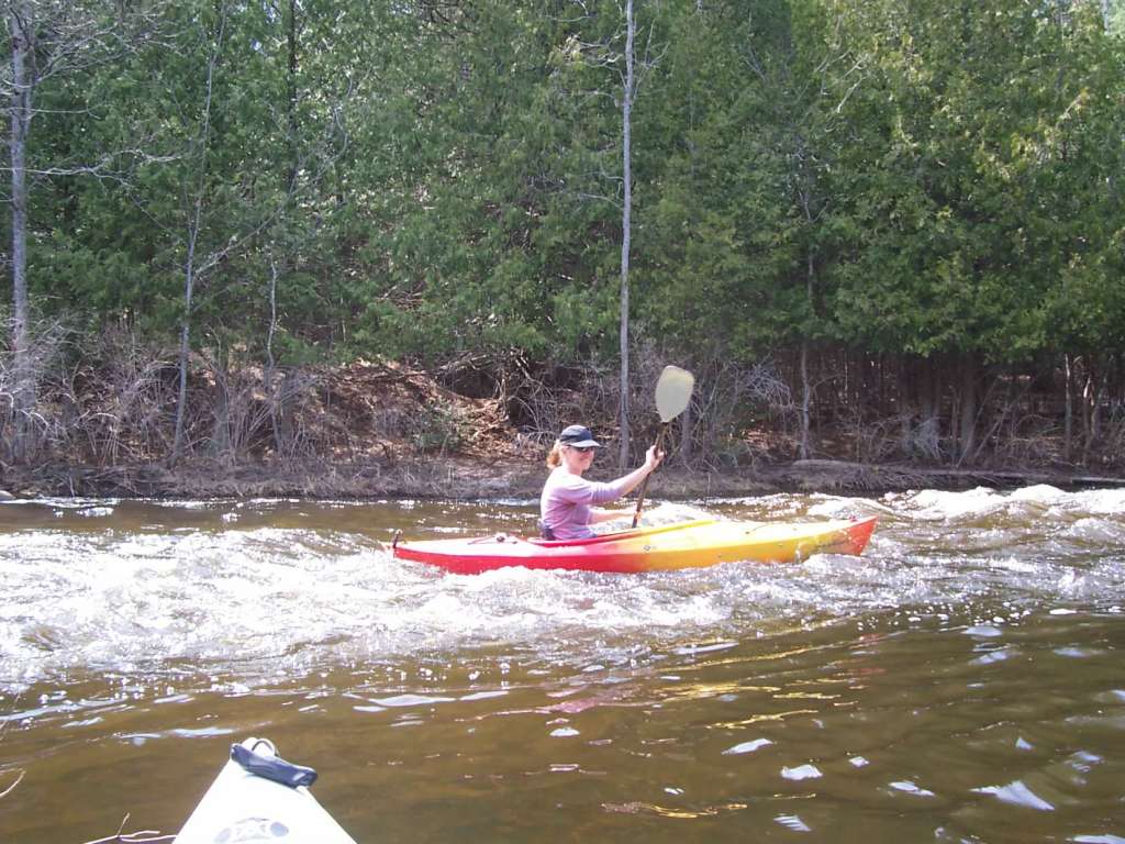
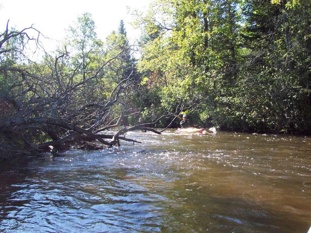
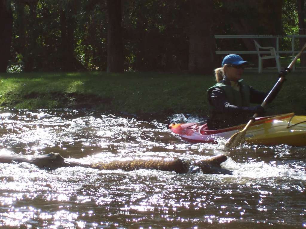
Highlights: This segment of the Pigeon River never disappoints with its rush over rocks and boulders and dive into deep woods. The remote feeling is not an illusion as much of the river flows through the Pigeon River Country State Forest or, as it’s often called, The Big Wild. It’s rare to see other people on the paddle, particularly from the M-68 Bridge to Andreae Preserve, where the river grows increasingly frantic and twisted. At the nature preserve expect to be charmed with the cabin perched on the riverbank and narrow bridge leading to hiking trails, which range from singletrack along the river to two-tracks closer to M-68.
Distance: Bike: About 7 miles. Paddle: About the same.
Difficulty: Biking: Mostly easy on dirt and paved roads with a few steep hills. Kayaking: Unserved by liveries, the conditions on the Pigeon are often a mystery with deadfall, beaver dams, hanging branches, and other debris altering from year to year. This portion of the river, only navigable during the spring’s high water or after heavy rain, is a fast ride down a rippling stream with numerous boulders, rapids, and quick turns. Paddlers should expect to get wet and possibly muddy; beginners should not attempt. The paddle also ends with half-mile portage from the takeout to the preserve’s parking lot. Adventure seekers can continue to Mullett Lake.
Location: Leave bikes at the Agnes S. Andreae Nature Preserve, about 8 miles east of Indian River. Before continuing to the put-in, walk (or bike) the half-mile down to the river. The takeout is below the cabin and just before the bridge. The current is fast and it’s easy to get swept past this spot. To find the put-in, drive back to M-68 and turn left (east) then right (south) onto Afton Road. Continue as Afton crosses the Pigeon and rolls up and down a few steep hills. Next turn left (east) onto Pigeon River Road. Park in one of the pull-outs near the bridge, at the northern tip of Reed’s Pigeon River Nature Preserve. Since there are few, if any, places to hide and/or lock kayaks at the access site, this biyak route should definitely begin with the paddle and end with the pedal.
(Car shuttle: Using the directions above, park one car at the takeout and then drive the second car to the put-in.)
Route finding: Biking: Retrace the drive to Pigeon River Road (Option: From M-68, turn right onto Cut Off Road, which meets up with Afton Road (turn right onto Afton).) Kayaking: Stay alert as it’s easy to collide with a boulder, depending on the water depth.
Websites and maps: A PDF of the route is available here. And click here for information and maps from M-68 to Andreae Preserve.

One thought on “Pigeon River – Andreae Nature Preserve”