
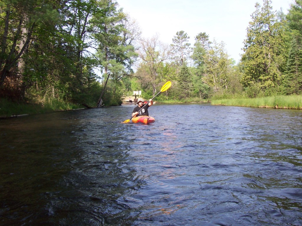
Highlights: The Au Sable’s Holy Waters—so named for its exceptional flyfishing—never fails to charm as it tugs paddlers past woodsy cabins and boathouses, and over clear water, making it easy to catch a glimpse of trout swimming against the pebbly riverbed. It’s rare to be alone on this stretch of the Au Sable as its equally popular with anglers and paddlers, but definitely avoid kayaking here on summer weekends when the Holy Waters turn into a hellish parade of floaters on tubes, canoes, and kayaks.
Distance: Biking: About 10 miles. Kayaking: About 9-10 miles.

Difficulty: Biking: Easy on flat to rolling dirt and paved roads. Kayaking: Maintained by local liveries, the Au Sable is mostly easy with only a few obstacles to maneuver around.
Location: From Grayling, drive about 6 miles east on N. Down River Road. Turn right (south) on Headquarters Road and continue to where the road ends at the Au Sable River. Park here and continue on foot down a dirt trail to a rustic access site (directly across from Burton’s Landing). Find a place to stash the kayaks. The put-in is at the bottom of a sandy hill. (There are many access sites along the Au Sable River but we prefer to stay on the north side of the river because biking on N. Down River Road is safer than cycling on busier M-72. Although primitive, we like this access site because it optimizes the somewhat faster current of the Holy Waters.) Now, drive back to N. Down River Road and turn right, continuing to Wakeley Bridge Road. Turn right (south) and, after crossing the river, look for signs to the access site on the left. Continue back to the site and park at one of the two parking areas.
(Car shuttle: Using the directions above, park one car at the takeout and then drive the second car to the put-in.)

Route finding: Biking: You can ride back the way you drove or take the following route to avoid busy N. Down River Road as much as possible: Retrace your tracks to Wakeley Bridge Road and turn right. Continue across the bridge and up the hill. After a few curves in the road, turn left onto dirt Twin Pine Road and then right onto Spike Avenue. Next, take a left onto N. Down River Road. Turn left onto Whirpool Road and then take a right onto dirt Richardson Road. Continue to Headquarters Road and take a left back to your boats. Kayaking: There are a few sections where the river splits but taking either channel is usually fine.
