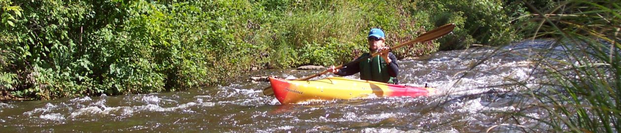

Highlights: One of our favorite paddles, the North Branch of the Au Sable feels like a classic Michigan river. From cottages and boat houses to fly fishermen and Au Sable riverboats to uninterrupted forest, it’s a peaceful float back in time. The bike ride doesn’t boast the same charm, but it does pass through a sleepy slice of northern Michigan with little traffic and easy riding.
Distance: Both the biking and kayaking sections are about 7 miles.
Difficulty: The pedal (Morley Road can be a little sandy) and the paddle are easy; however, the river is best in the spring or after rainfall.
Location: Leave your kayaks at the Dam 4 Road fishing access site, off Lovells Road, and then drive to the access site at the end of dirt Morley Road., off N. Down River Road, east of Grayling. These two locations should be easy to find on any map or GPS. Take a good look at the Morley takeout site; it can be easy to miss from the river (there’s a sign but it’s small).
(Car shuttle: Using the directions above, park one car at the takeout and then drive the second car to the put-in.)
Route finding: Biking: Retrace your tracks back to Dam 4 Road by biking up Morley and turning left (west) onto N. Down River Road. Then take a right (north) onto Lovells Road. Turn left (west) onto Dam 4 and continue back to your boats. Kayaking: Expect to see anglers but other paddlers are rare. Although the river isn’t maintained by any liveries, it would be unusual to see deadfall or other debris, just a constant current and rippling fun.
Websites and maps: Click here for a PDF map, and The Au Sable North Branch Foundation is also an excellent source for additional information.
