
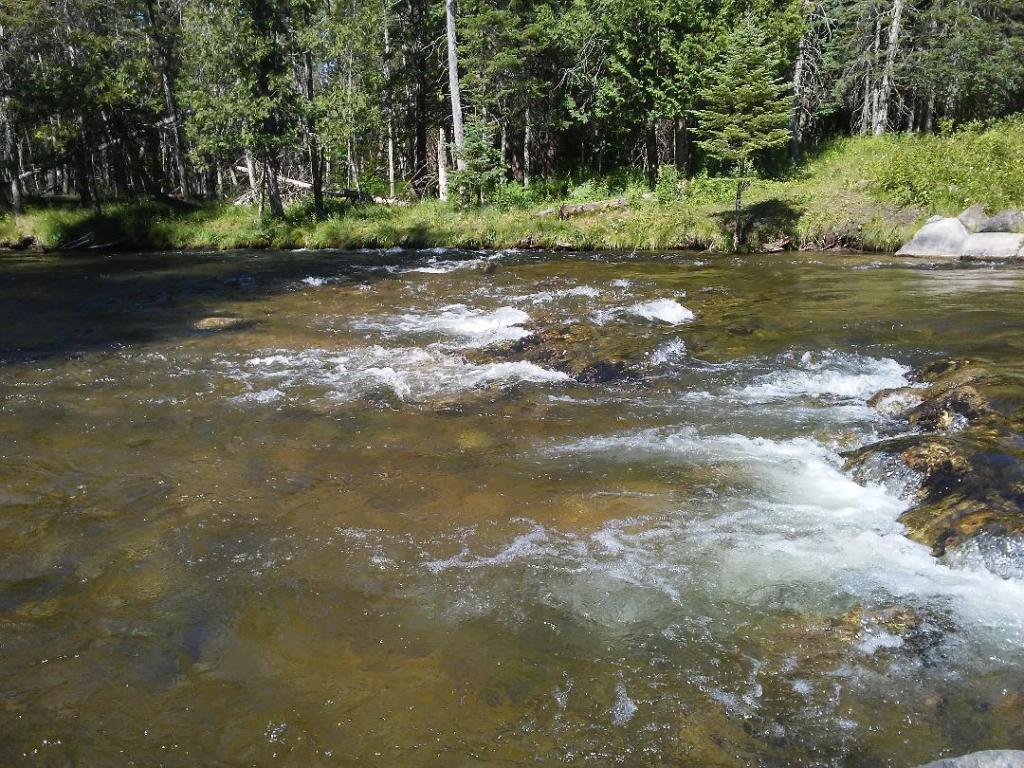
Highlights: This popular paddle—avoid weekends/holidays unless you enjoy kayaking with large groups of floaters—begins with a fast current that mellows the closer you get to the takeout at Webster Bridge. A canopy of trees hangs over much of the route, and sometimes there is only a narrow gap to slip through deadfall, adding to the fun. The bike ride along paved Mt. Bliss Road is surprisingly quiet with gentle hills and green fields and forest rolling into the distance.
Distance: Bike: About 7 miles. Paddle: About 6 miles.
Difficulty: The pedal is a mostly easy ramble on paved roads through quiet countryside; however, it ends with almost 2 miles on busy M-66 so proceed with cautious during this short section (or you can bike the snowmobile trail paralleling M-66; fat-tires are best). The river is maintained by local liveries and needing to portage would be unusual. But novice paddlers might be challenged by quick bends in the river, debris to navigate, and overhanging branches.
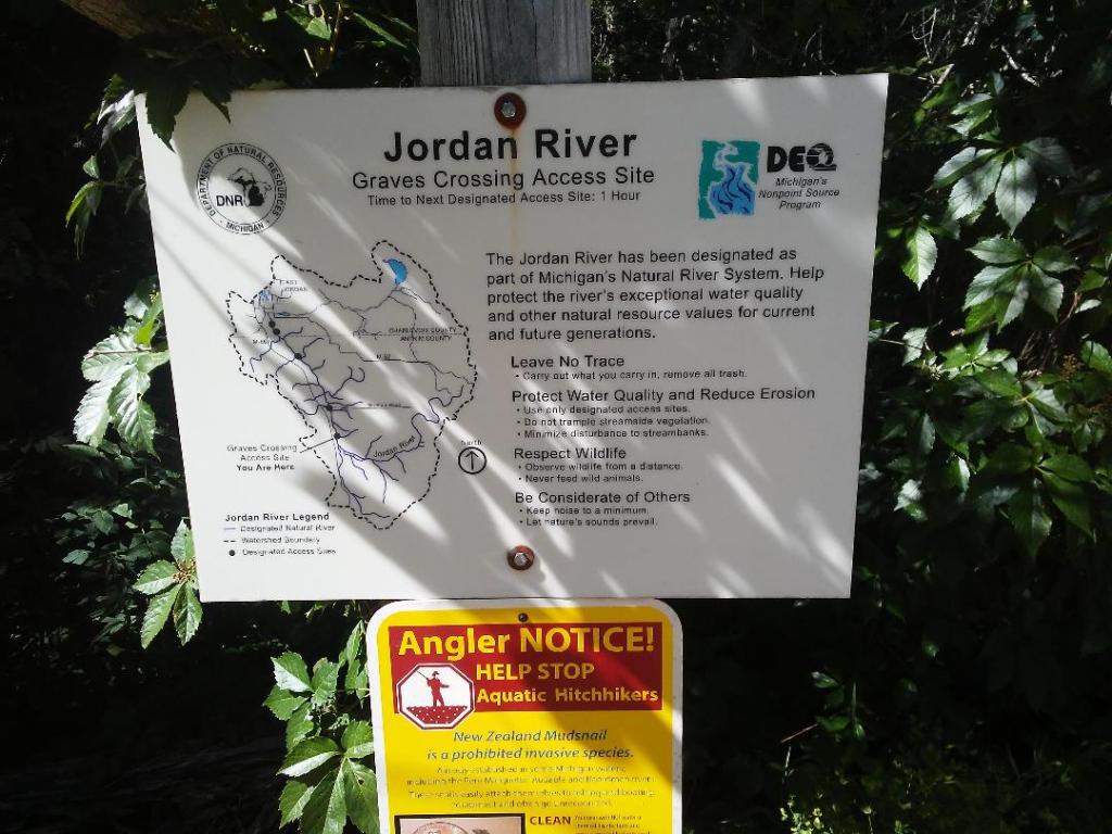
Location: Leave bikes at Webster Bridge Access Site, east of M-66. Return to M-66 and drive south to Graves Crossing Access Site. Turn left and park here (parking is more plentiful at Graves than at Webster). These access sites are easy to find on any area map or GPS.
(Car shuttle: Using the directions above, park one car at the takeout and then drive the second car to the put-in.)
Route finding: Biking: Pedal to Webster Bridge Road and turn left. Take a right onto Mt. Bliss Road. Follow the road as it winds up and down gentle hills. At a T-intersection, turn right onto Old State Road. Next, turn left onto M-66 for just under 2 miles (or you can bike the snowmobile trail paralleling M-66, fat-tires recommended) and then turn left toward Graves Crossing. Kayaking: Nothing unusual to note.
Map: PDF map is here.
